
2 reactions
THE FATHER OF ALL MAPS OF THE PHILIPPINES - The Murillo Velarde Map 1734
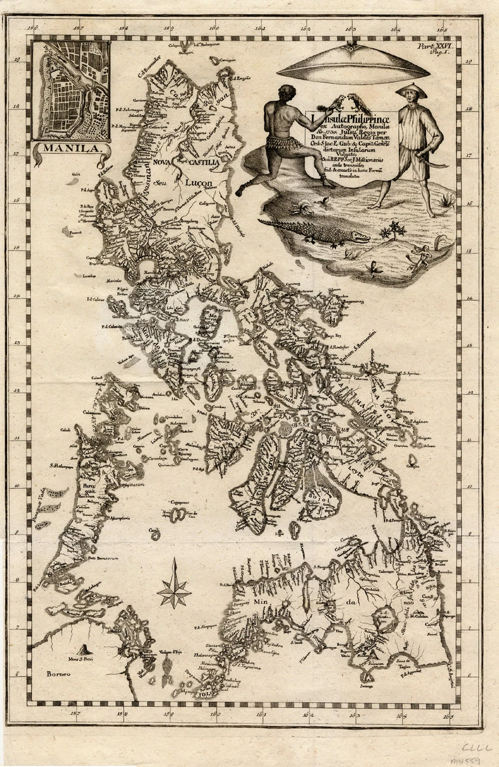
This magnificent map of the Philippine archipelago, drawn by the Jesuit Father Pedro Murillo Velarde (1696--1753) and published in Manila in 1734, is the first and most important scientific map of the Philippines.
The Philippines were at that time a vital part of the Spanish Empire, and the map shows the maritime routes from Manila to Spain and to New Spain (Mexico and other Spanish territory in the New World), with captions.
In the upper margin stands a great cartouche with the title of the map, crowned by the Spanish royal coat of arms flanked each side by an angel with a trumpet, from which an inscription unfurls.
The map is not only of great interest from the geographic point of view, but also as an ethnographic document. It is flanked by twelve engravings, six on each side, eight of which depict different ethnic groups living in the archipelago and four of which are cartographic descriptions of particular cities or islands.
This magnificent map of the Philippine archipelago, drawn by the Jesuit Father Pedro Murillo Velarde (1696--1753) and published in Manila in 1734, is the first and most important scientific map of the Philippines.
The Philippines were at that time a vital part of the Spanish Empire, and the map shows the maritime routes from Manila to Spain and to New Spain (Mexico and other Spanish territory in the New World), with captions.
In the upper margin stands a great cartouche with the title of the map, crowned by the Spanish royal coat of arms flanked each side by an angel with a trumpet, from which an inscription unfurls.
The map is not only of great interest from the geographic point of view, but also as an ethnographic document. It is flanked by twelve engravings, six on each side, eight of which depict different ethnic groups living in the archipelago and four of which are cartographic descriptions of particular cities or islands.


1
| 41,000 mlx | |
| 30 | |
| 2 |