
0 reactions
High Pressure System Question
First time posting here.
Weather forecasting is something I enjoy following.
I am in the PNW, and “usually” starting in the late fall the Gulf of Alaska starts sending systems into the PNW causing day upon day of lowland rain and deep snowpack in the Cascade Mountain range.
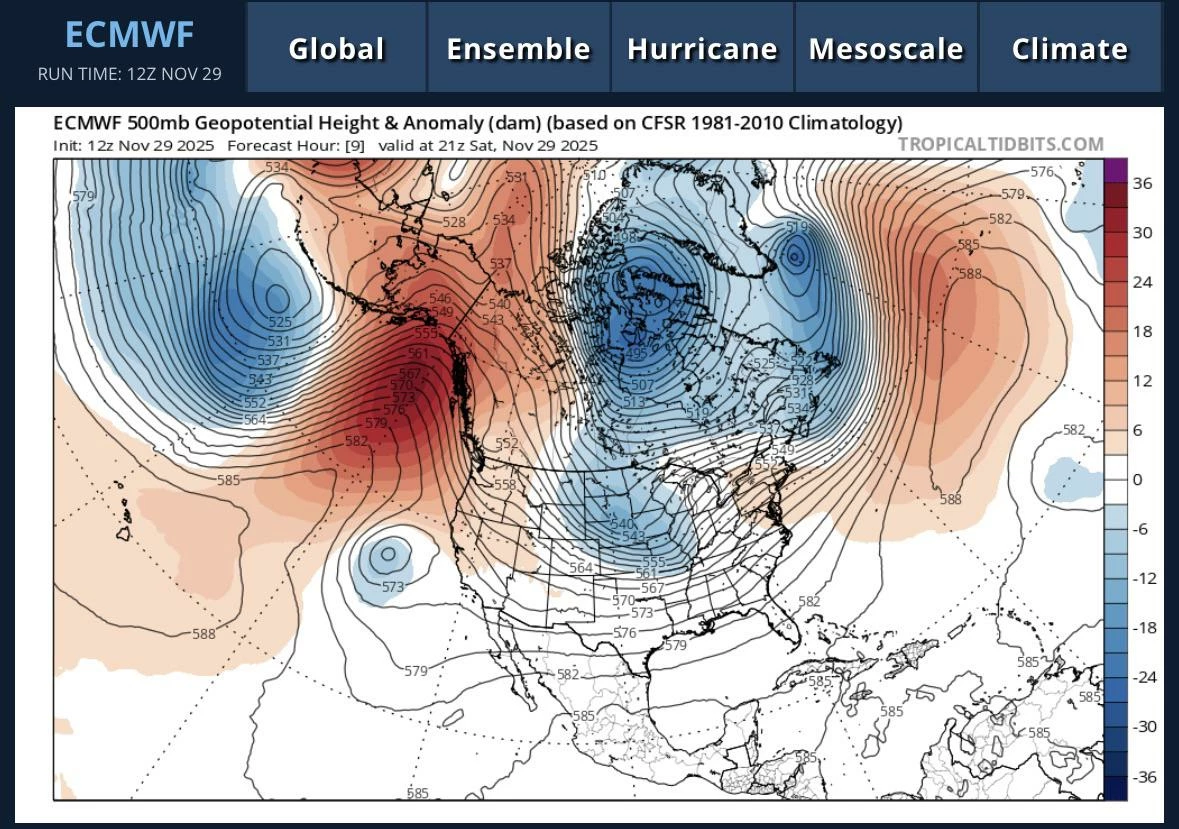
Lately, we have been getting high pressure systems parked right over the PNW causing all systems to go north into Canada, or slide down the east side of the Rockies into Montana.
Lately when the ENSO data forecasts the winter season as being a La Niña, we just get these persistent ridges that never leave. Historically, La Niña used to mean historically lower temps, higher precipitation, and deeper snow totals. Now that seems to be a thing of the past.
My question is how/why is high pressure so persistent. Even if a system does make it through a ridge just rebuilds itself. I just don’t understand. No one has ever been able to answer why high pressure can’t be broken down
#science
source
First time posting here.
Weather forecasting is something I enjoy following.
I am in the PNW, and “usually” starting in the late fall the Gulf of Alaska starts sending systems into the PNW causing day upon day of lowland rain and deep snowpack in the Cascade Mountain range.
Lately, we have been getting high pressure systems parked right over the PNW causing all systems to go north into Canada, or slide down the east side of the Rockies into Montana.
Lately when the ENSO data forecasts the winter season as being a La Niña, we just get these persistent ridges that never leave. Historically, La Niña used to mean historically lower temps, higher precipitation, and deeper snow totals. Now that seems to be a thing of the past.
My question is how/why is high pressure so persistent. Even if a system does make it through a ridge just rebuilds itself. I just don’t understand. No one has ever been able to answer why high pressure can’t be broken down
#science
source


| 6,000 mlx | |
| 6 | |
| 0 |